
In the heart of Louisiana, the Bonnet Carré Spillway stands as a pivotal flood control structure, directing the Mississippi River's overflow into Lake Pontchartrain and onward to the Gulf of Mexico. Created in the aftermath of the Great Mississippi Flood of 1927, this historic site has played a crucial role in managing the river's might. However, its operation is not without challenges, including nutrient loading, fishery disasters, land loss, and disturbed ecology, leading to adverse effects on marine life and surrounding habitats.
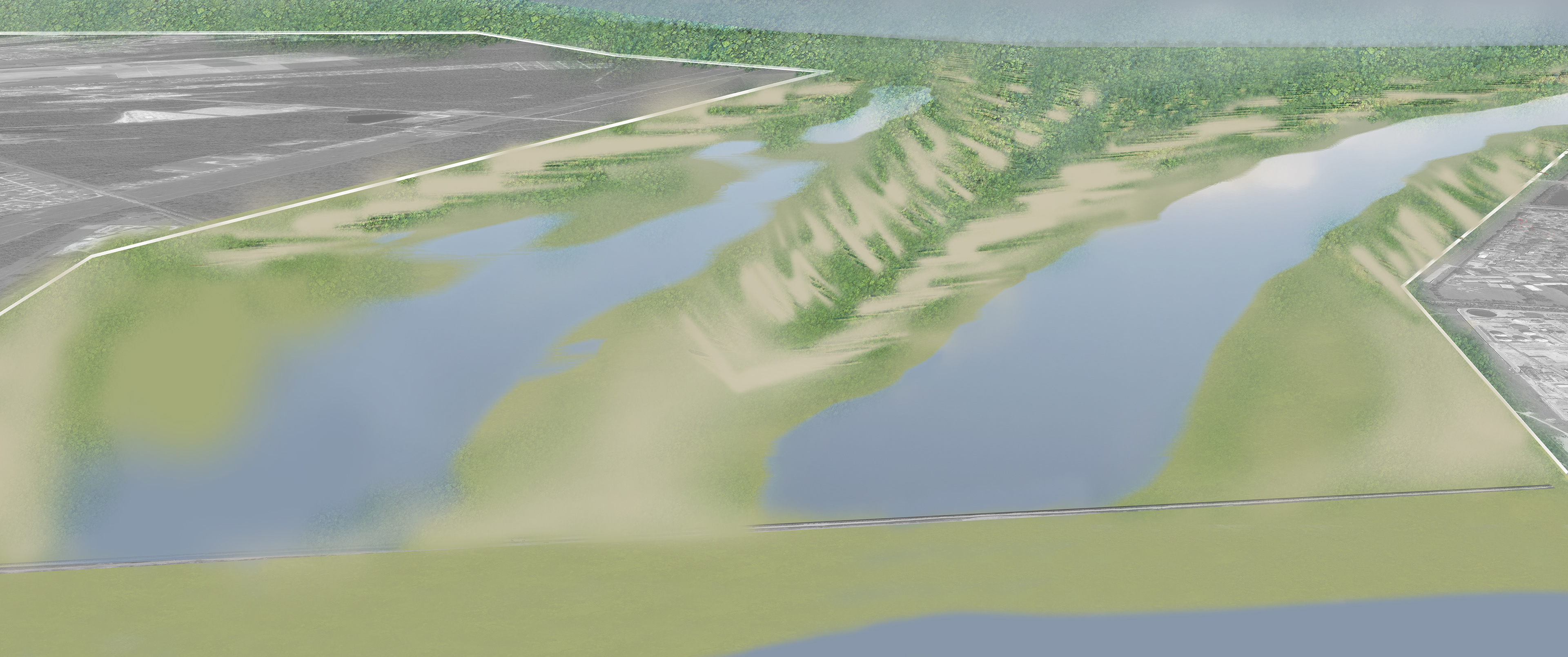
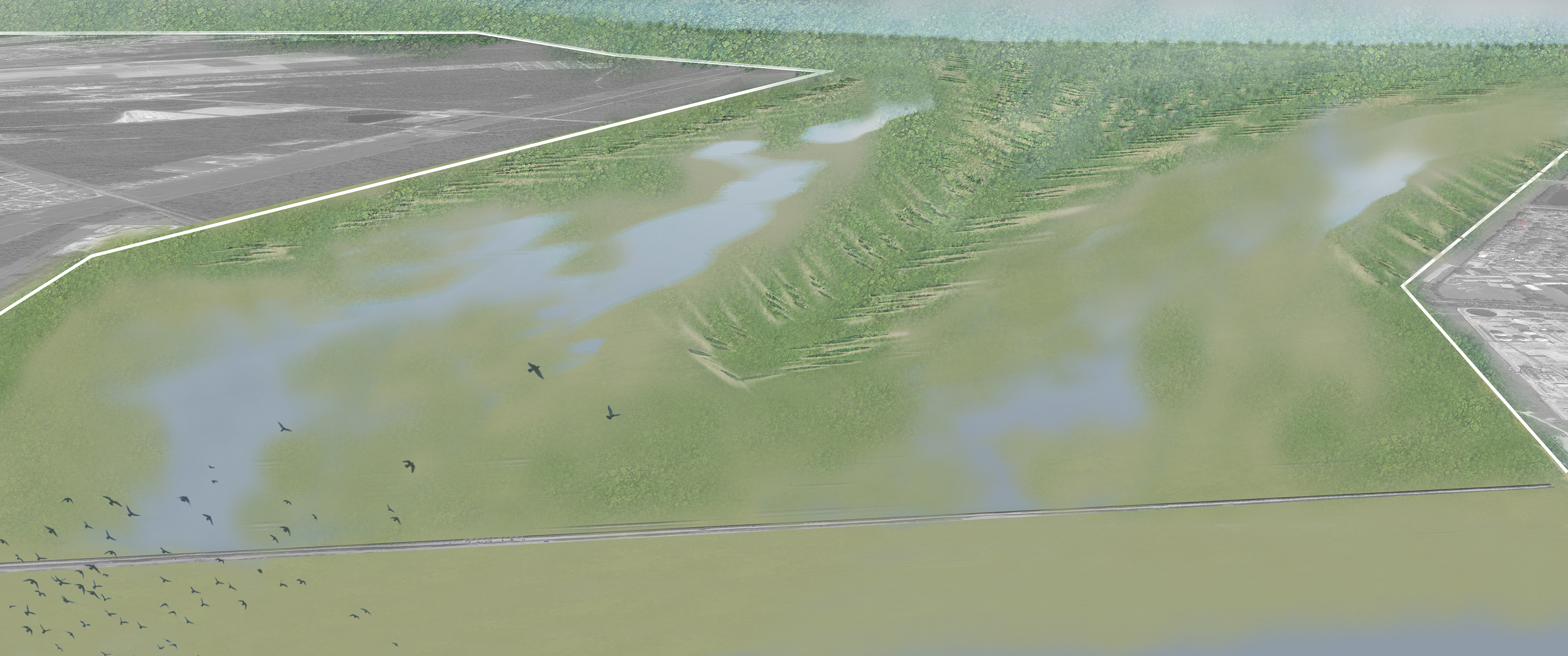
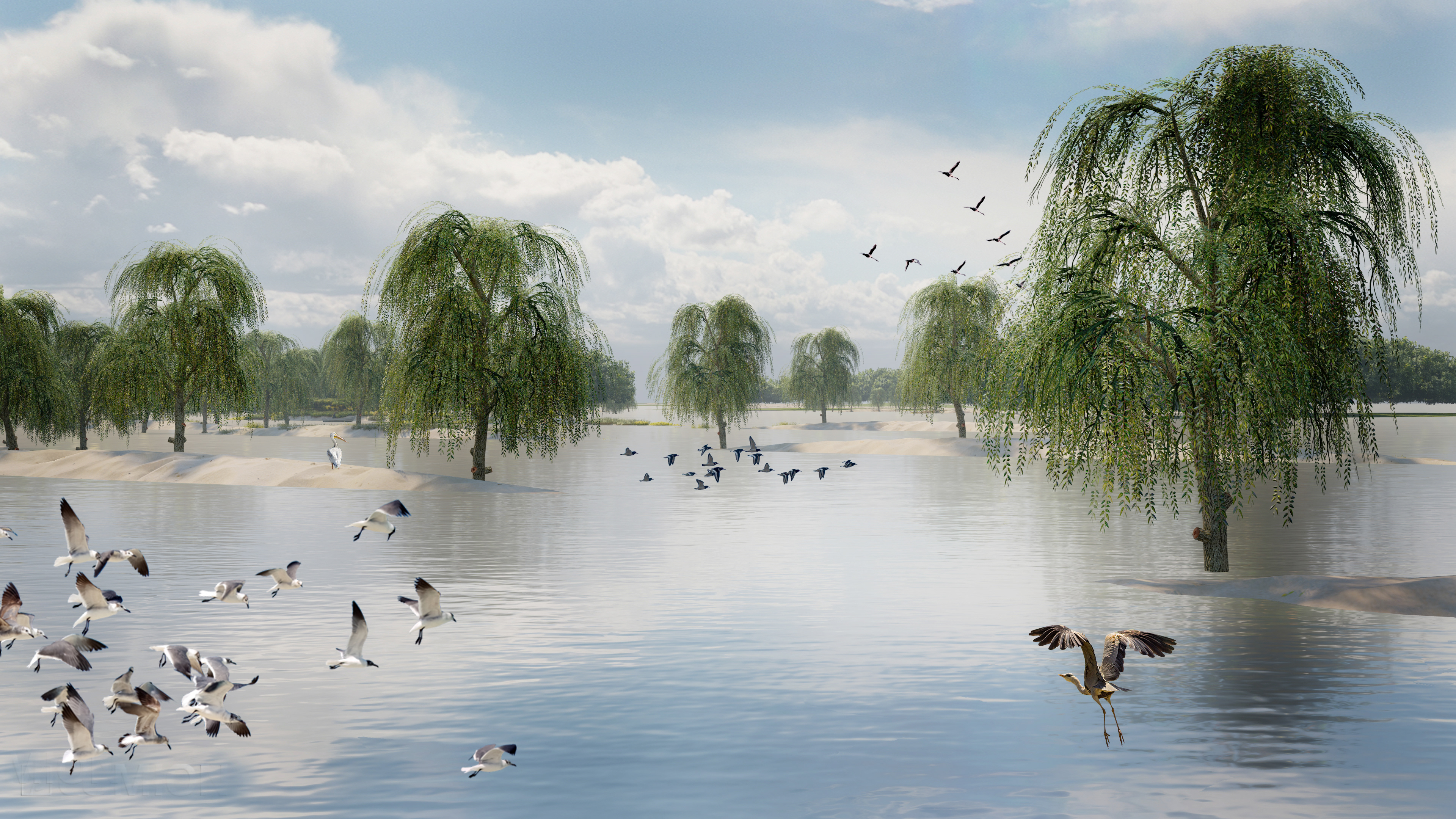
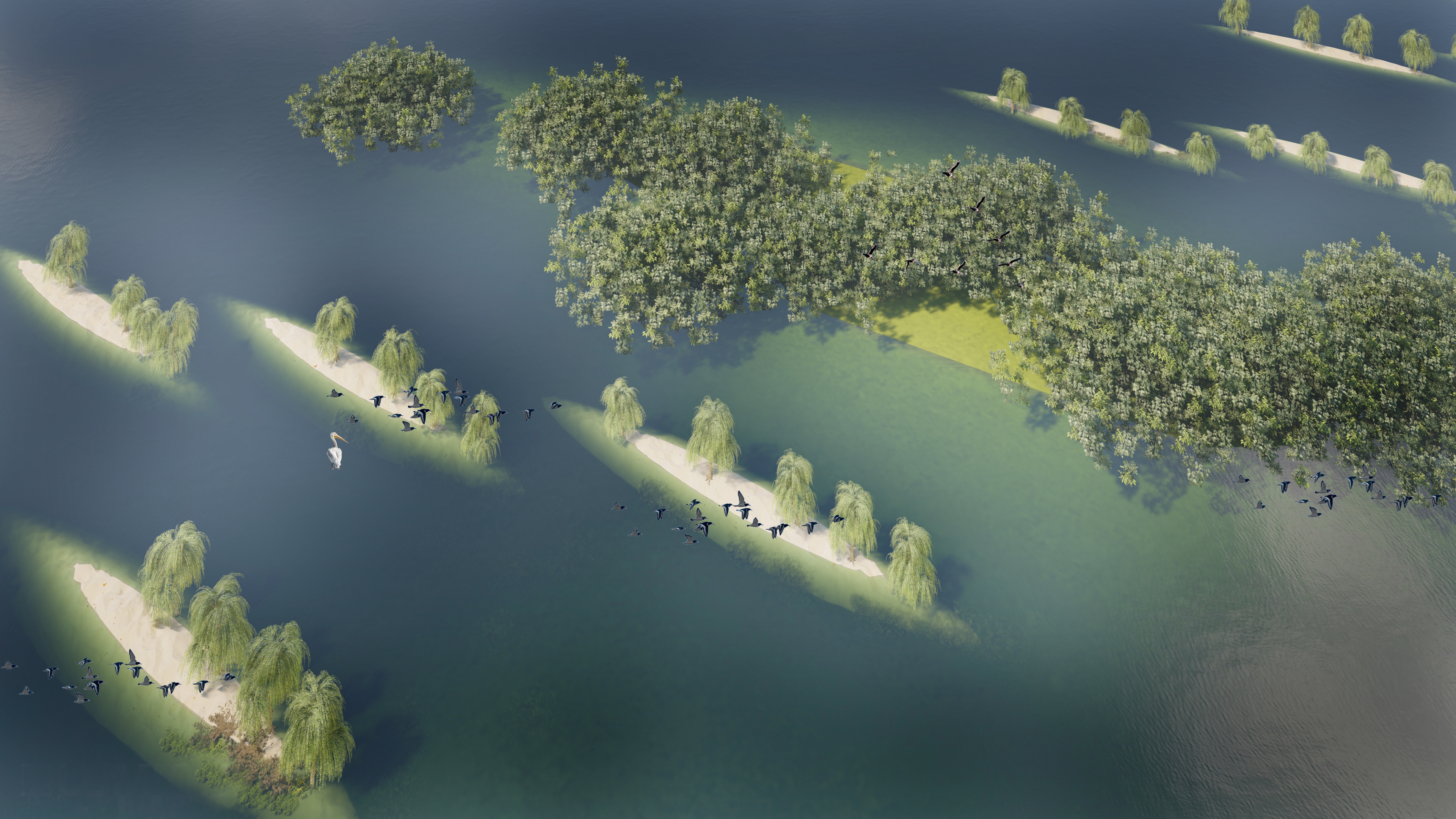
Our project envisions a transformative redesign of the spillway to address these critical issues. Our innovative design concept focuses on mitigating nutrient flux to protect Lake Pontchartrain's ecosystem and enhancing sediment delivery to rejuvenate adjacent wetlands. By constructing sand ridges within the spillway channel, we aim to reduce water velocity during flood events, allowing a more natural sediment transport to vital wetland areas.
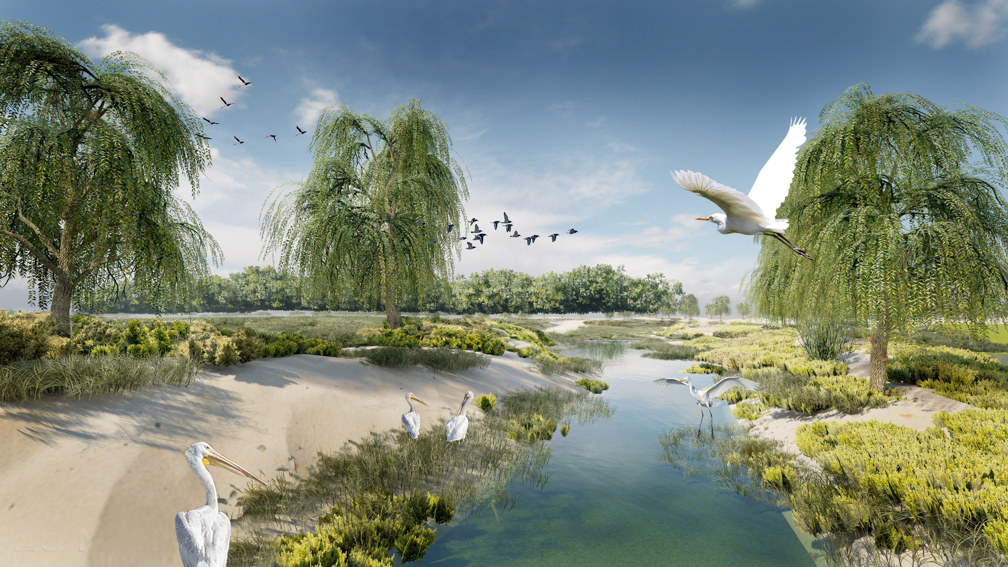
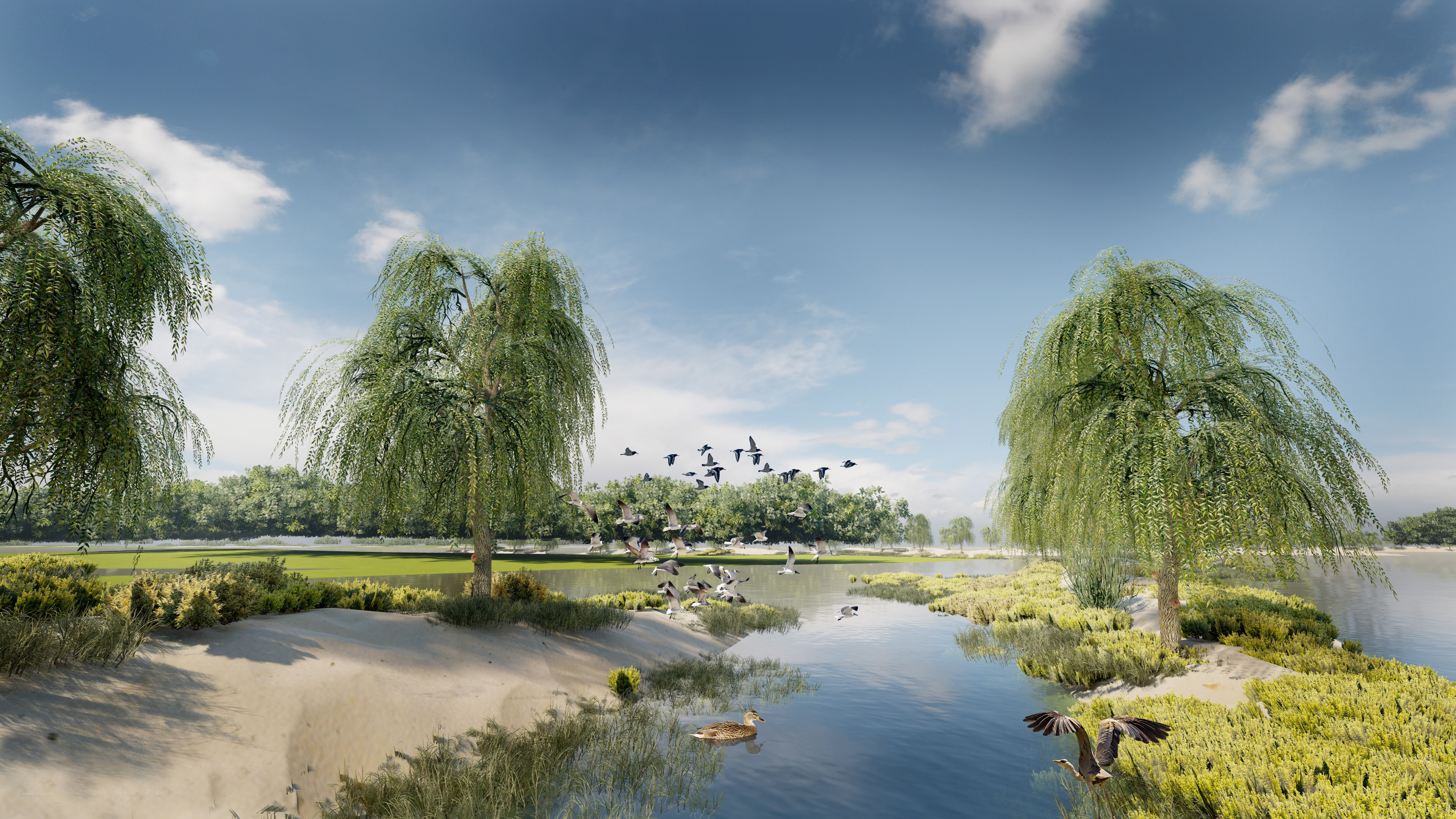
Experimental designs and master plans outline a future where sand ridges, water channels, and the strategic removal of levees work in harmony to restore ecological balance. This approach not only aims to stabilize the region's environment but also envisions a spillway that supports a diverse array of plant and marine life, fostering a resilient and thriving ecosystem.
This project represents a bold step towards reimagining infrastructure not just as a means of controlling nature, but as a way to work alongside it, restoring and enhancing the natural landscapes that define Louisiana's rich environmental heritage.
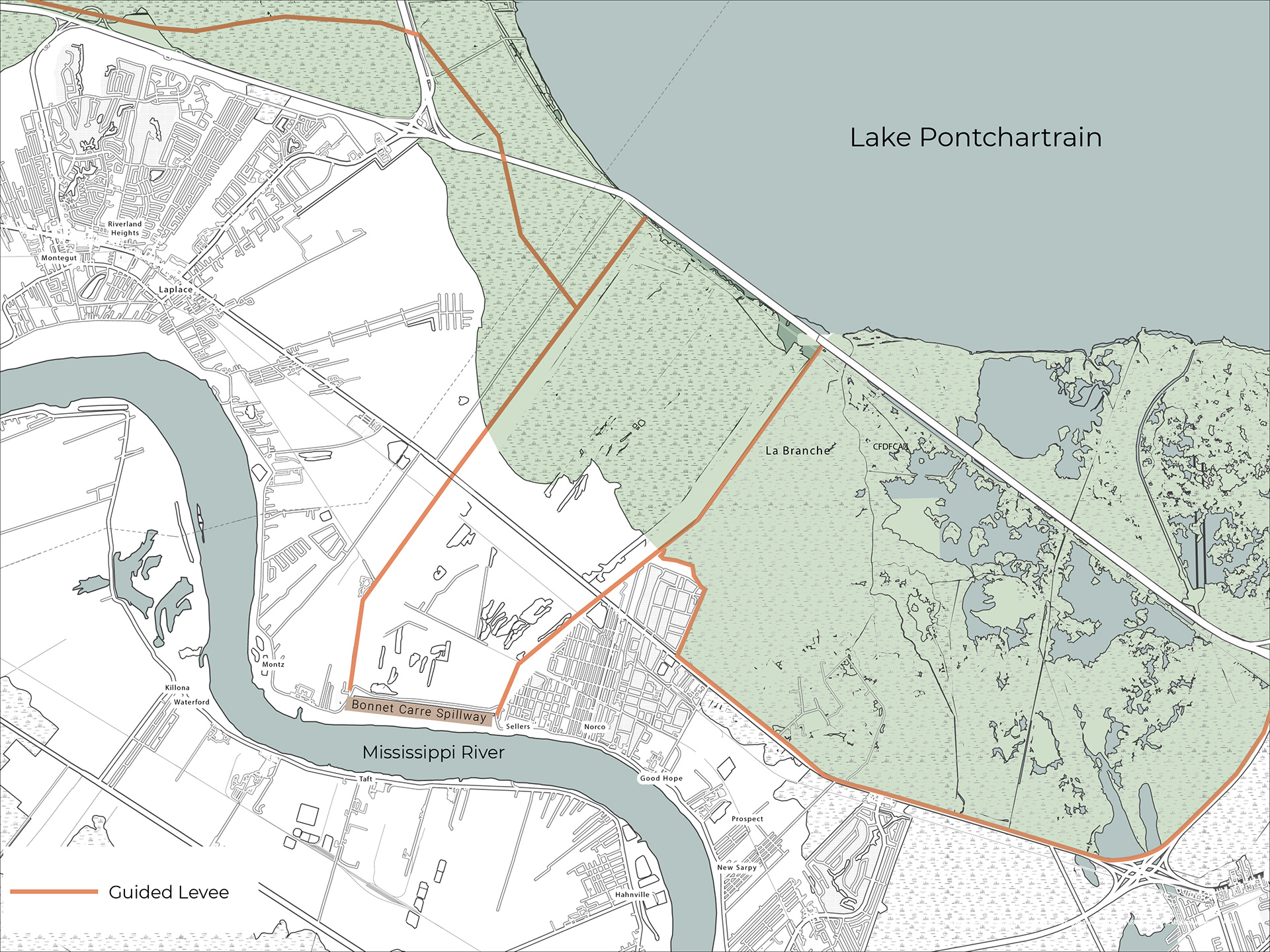
Spillway site and wetlands is separated by two guided levees.
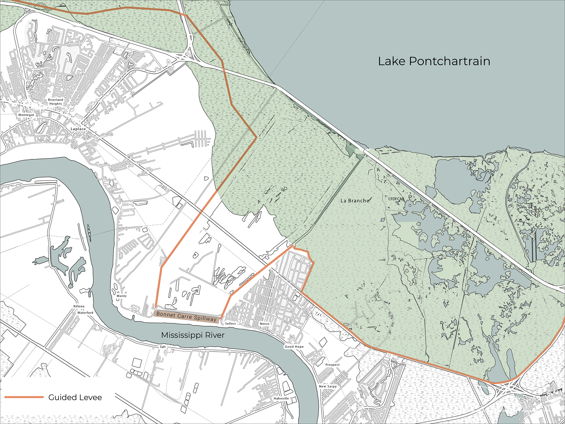
Propose to take out the levees.

Create water channels that reduces water velocity and diverts the water into the wetlands.
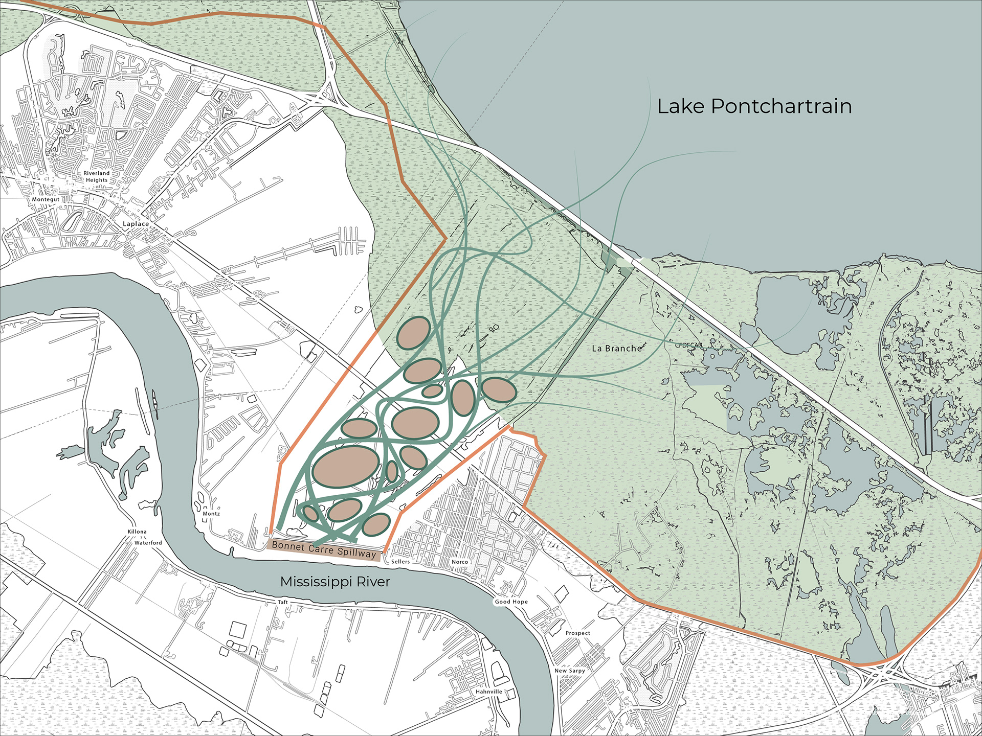
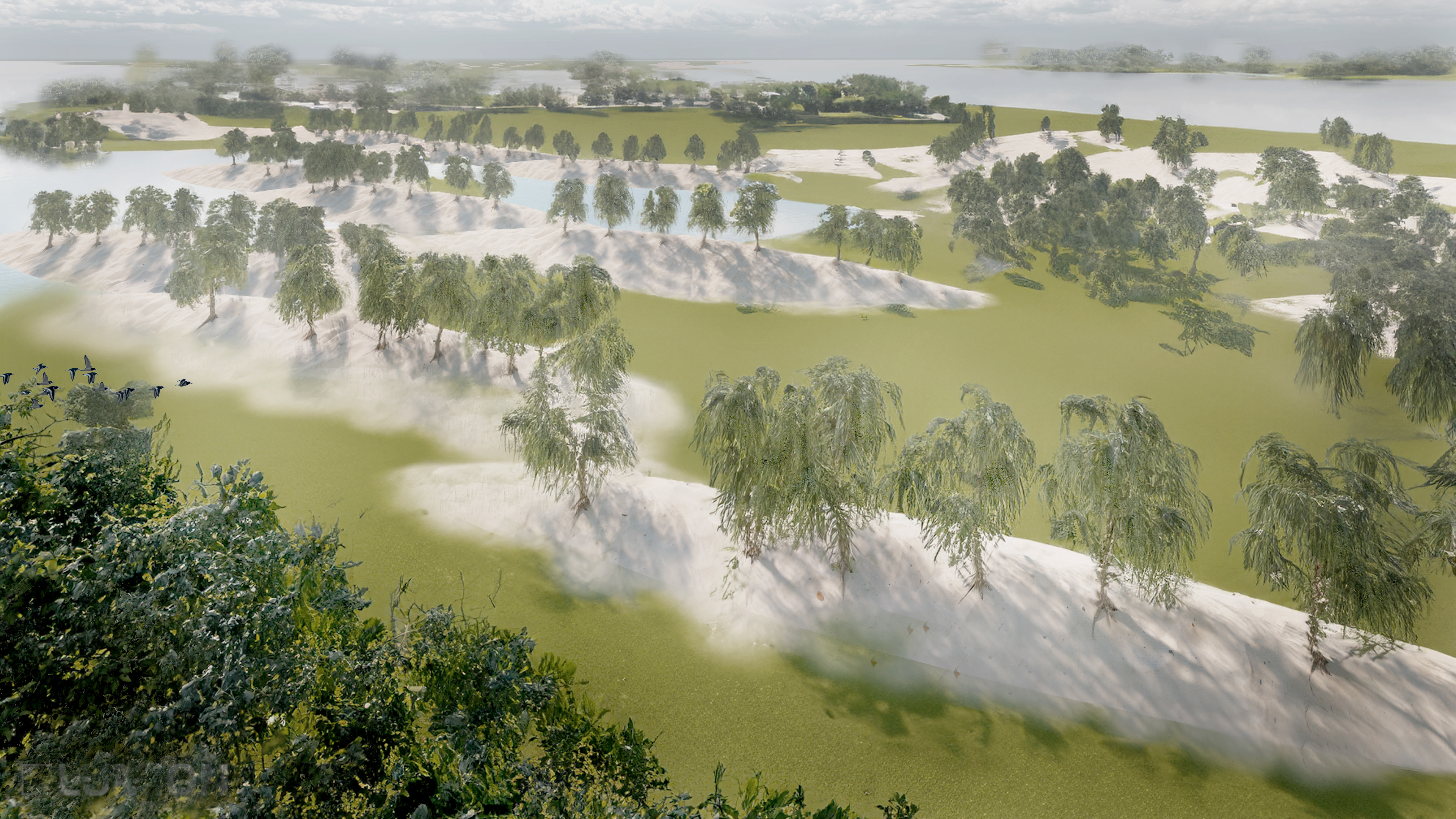
By creating Sand Ridges we can control the water flow, and the water flow will dig its channels in a more natural way.

By CNC routing a digital elevation model (DEM), we can examine the flow of water on a physical model, featuring various ridge shapes, to achieve two goals: 1. to slow the water velocity into Lake Pontchartrain and 2. to direct the water into the adjacent wetlands, thereby delivering sediments.
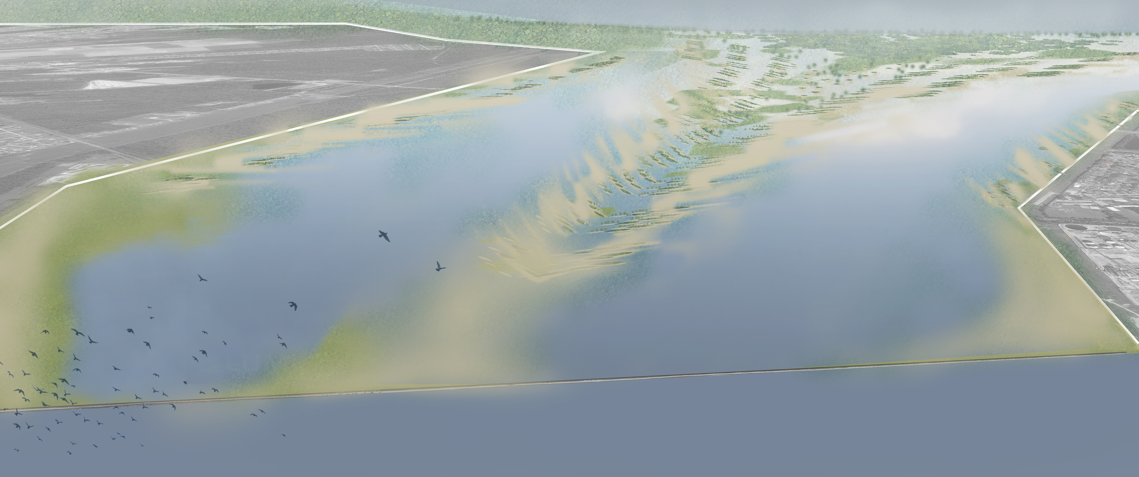
Following a series of experimental studies assessing the optimal design of the proposed sand ridges for maximizing water velocity reduction and sediment diversion into the wetlands, we propose initiating the process with sand ridges of this specific shape, incorporating specific stabilization features to enable them to capture increasing sediment and grow naturally over time. This series of master plans illustrates a timeline depicting the natural growth of the initial sand ridges through sediment capture. These renderings visually represent our vision for the unfolding process.


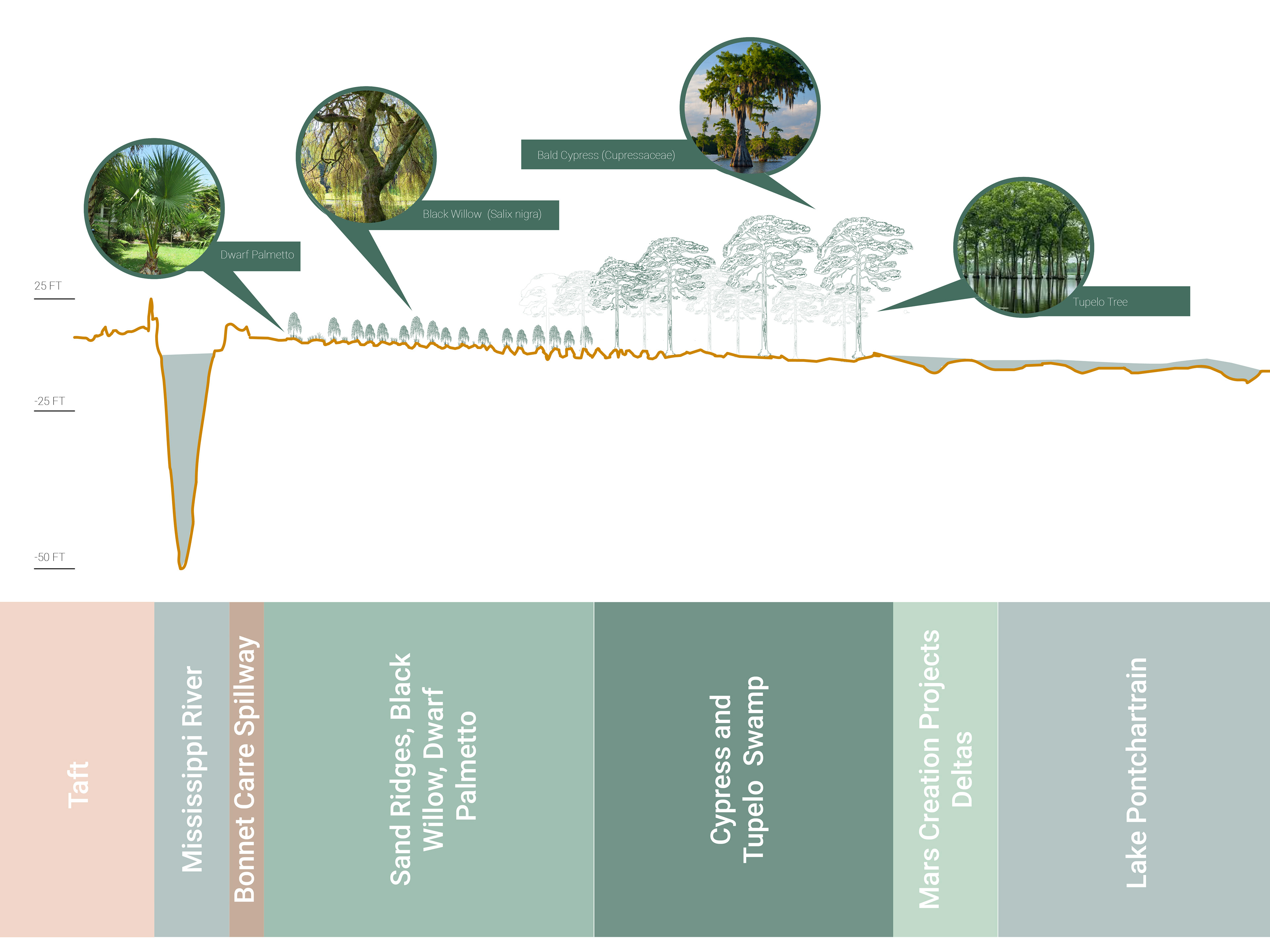
Transect A: This section shows the plant community from the Mississippi River to Lake Pontchartrain.
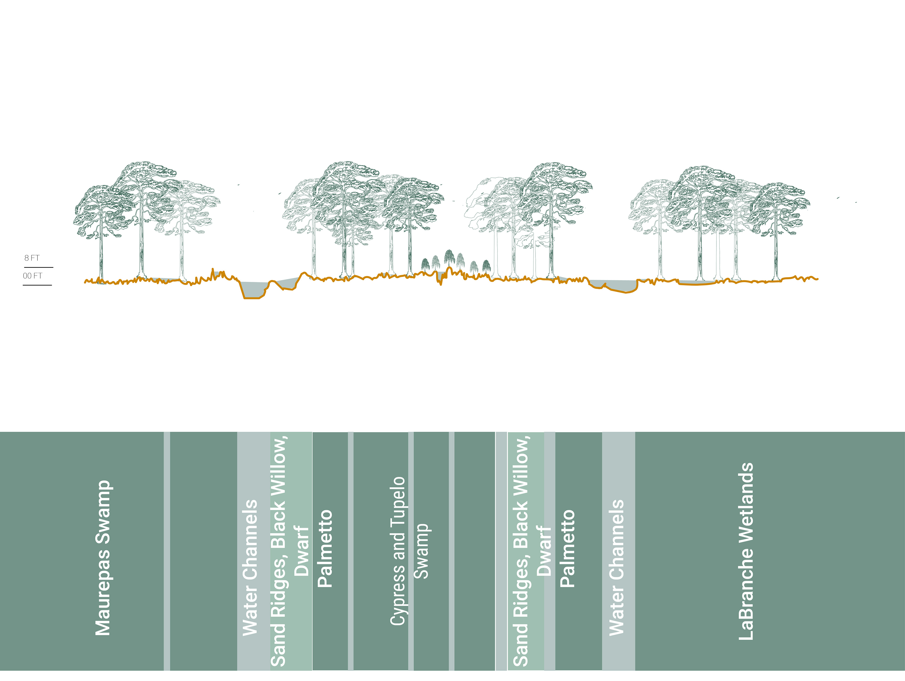
Transect B: This Section shows the plant community from Maurepas Swamp to Labranche Wetlands.
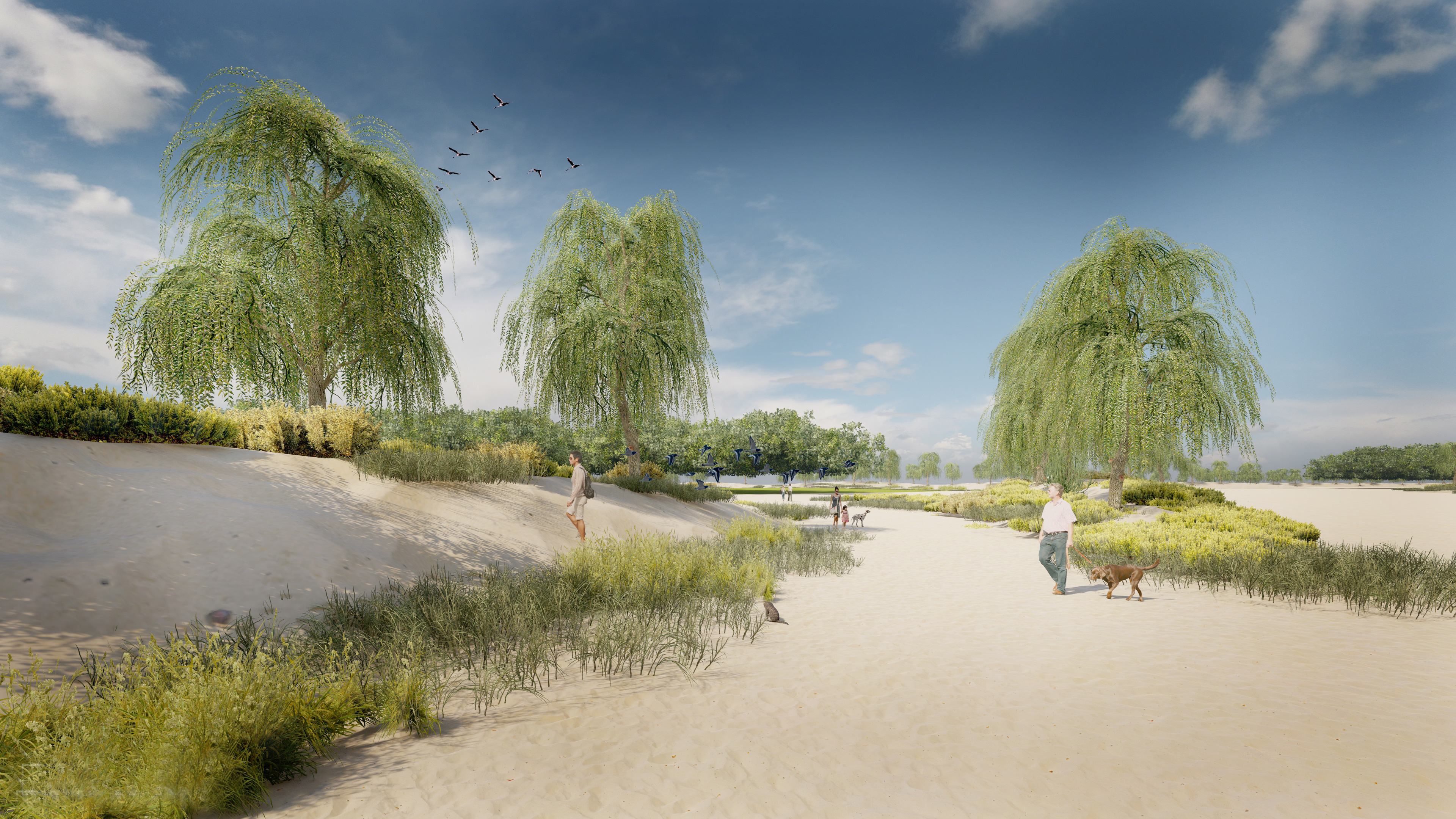
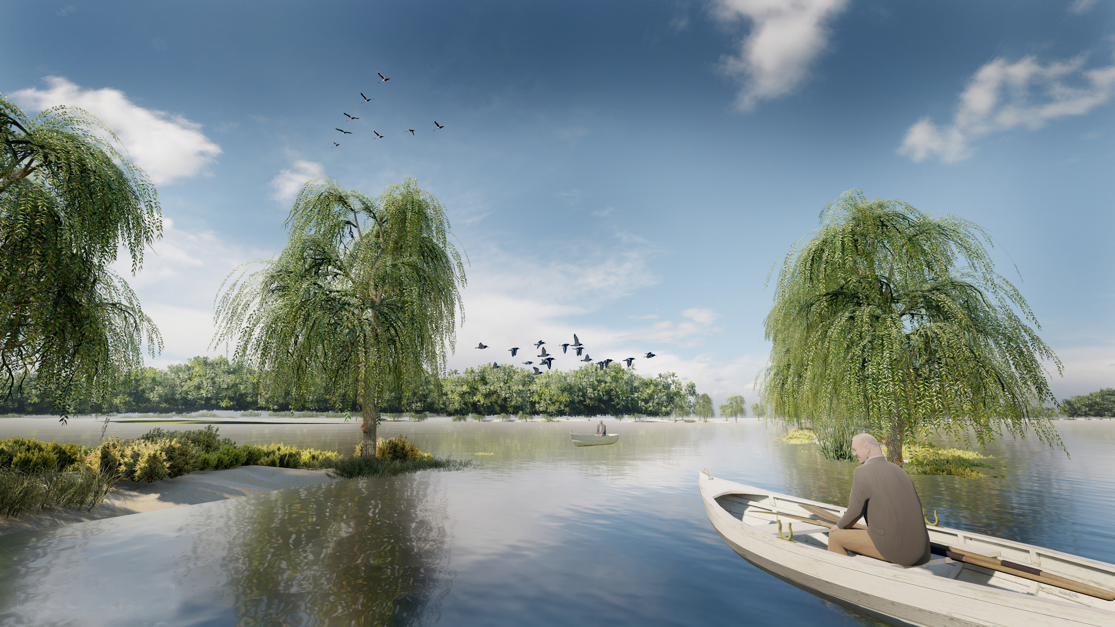
With different water levels, the site can hold different activities and experiences.